We remain fully operational. Our teams are working around the clock to ensure your deliveries continue safely.

DOWNLOAD THE APP


Copyright © 2025 Desertcart Holdings Limited
DOWNLOAD THE APP


📍 Navigate Precision, Measure Mastery!
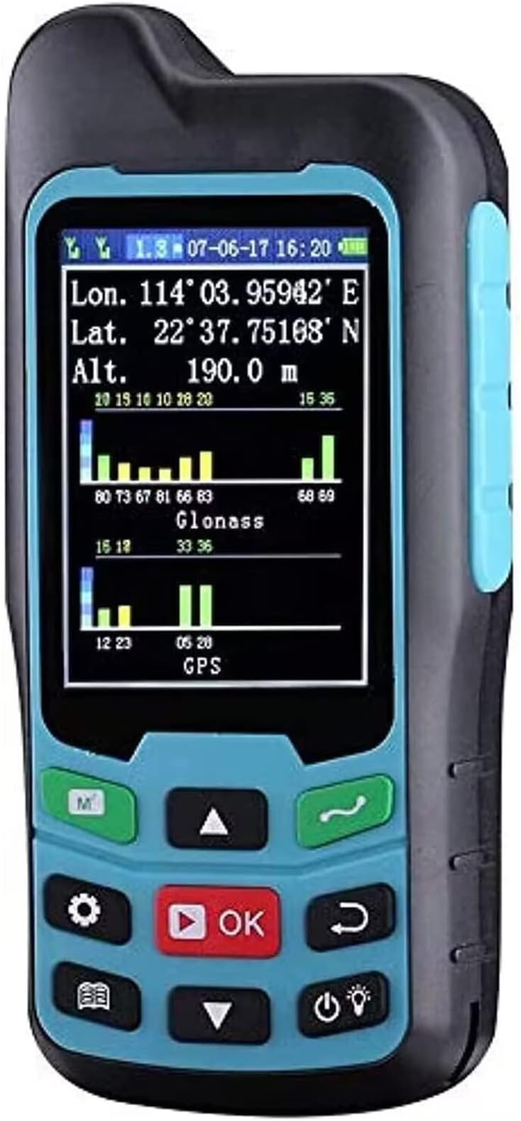
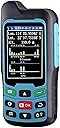
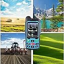
The BEVA CM84 handheld GPS meter integrates GPS, GLONASS, and BEIDOU satellite systems to deliver ultra-precise area and distance measurements with just 1-2% error. Featuring a bright 2.4-inch LCD, rugged waterproof design, and multifunctional measurement capabilities, it’s engineered for professionals needing reliable, portable land surveying and mapping tools across diverse terrains.


| ASIN | B083BG9NTF |
| Are Batteries Included? | No |
| Audio Output Mode | speaker |
| Battery Average Life | 12 Hours |
| Best Sellers Rank | 593,145 in DIY & Tools ( See Top 100 in DIY & Tools ) 89 in Measuring Wheels |
| Box Contents | 1 X USB Charging Cable |
| Brand Name | BEVA |
| Compatible Devices | Smartphone, Tablet |
| Compatible with Vehicle Type | Car |
| Connectivity Protocol | USB |
| Control Method | App |
| Customer Reviews | 3.8 3.8 out of 5 stars (231) |
| Display Type | LCD |
| Human Interface Types | Buttons |
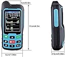
| Item Dimensions L x W x H | 43L x 24W x 91H millimetres |
| Item Type Name | Land Meter |
| Item Weight | 0.07 Kilograms |
| Manufacturer | BEVA |
| Map Coverage Type | Satellite |
| Model Name | CM84 |
| Mounting Type | Wrist Mount |
| Network Connectivity Technology | USB |
| Product Features | Touchscreen |
| Resolution | 320 x 240 |
| Screen Size | 2.4 Inches |
| Sport Type | surveying |
| Supported Satellite Navigation System | GPS |
| Touch Screen Type | Capacitive |
N**M
this product is waste for money ,no accuracy,comparing to mobile app gps field area tool and this device ,the device is used to play for childrens use.product cost also veryhigh,
N**A
Lo pedí para mi papá, porque dijo que sería útil en su trabajo, y ahora lo cuida más que a mí (jajaja). Excelente equipo por lo que puedo ver. Le resultó fácil de usar.
J**N
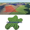
This is a VERY simple to learn device, in fact, it comes with no instructions. It does 2 things - it will measure the length of a path you walk / drive / ride or it will measure the AREA you walk / drive / ride. You will need to set the time in UTC then + or - for where you are. For example, Houston, TX is UTC-5. Now, all the log files will have the day/month/year and then Time of Day. If this is wrong, it's nearly impossible to reconstruct what you have measured. I use this to measure how long a driveway is, how much water frontage a lot has, and how long a road is, etc. I also use it to figure out the area of a lot/parking lot/pasture and even get the size of a shop, building or back yard patio. For less than $100, I am very impressed with what it does. It uses GPS and GLONASS for super accurate measurements. It's much easier to use this for job estimates like doing mowing jobs, hay bailing, fencing, etc.
N**E
Butn not work Not work Very poor qwalty 🤦♀️please repand Repond Not butn work
M**2
Worked fine for what I needed it for, which was measuring a plot of land frome one point to the other. Anything more than that I cant say.
Trustpilot
2 weeks ago
2 weeks ago