We remain fully operational. Our teams are working around the clock to ensure your deliveries continue safely.

DOWNLOAD THE APP


Copyright © 2025 Desertcart Holdings Limited
DOWNLOAD THE APP
Buy anything from 5,000+ international stores. One checkout price. No surprise fees. Join 2M+ shoppers on Desertcart.
Desertcart purchases this item on your behalf and handles shipping, customs, and support to Cyprus.
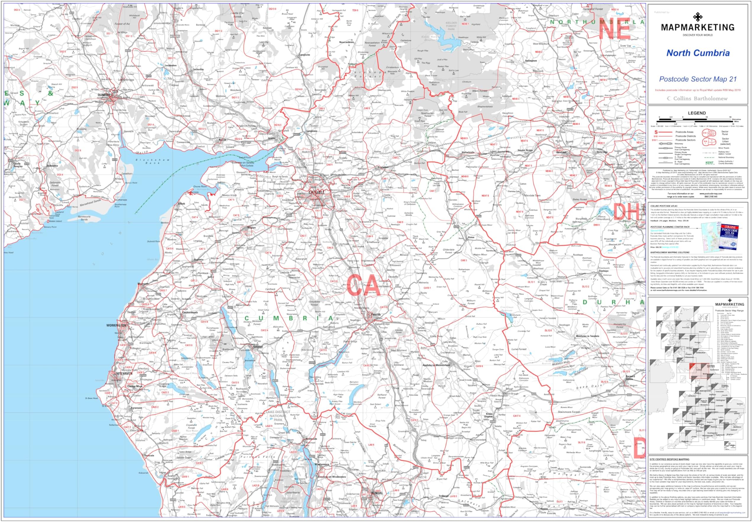
North Cumbria - Postcode Sector Map 21 - Wall Map With Motorway, A' Roads, B' Roads, City Plans, Area, District, Sectors Size: 73 x 107 cm (29 x 42 inches) Scale: 1:150,000- Laminated Wall Map
Trustpilot
1 week ago
2 days ago
1 week ago
1 month ago